
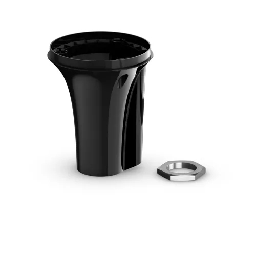
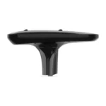
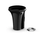

MSC™ 10 Marine Satellite Compass

SKU: 010-02407-10

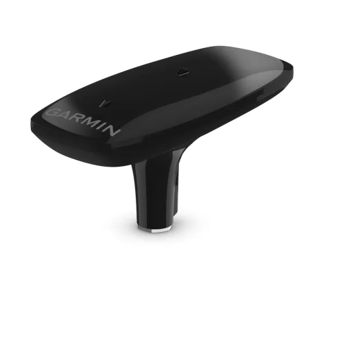
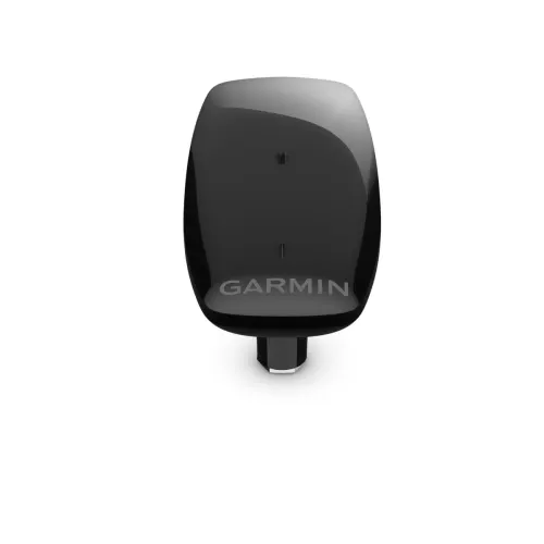
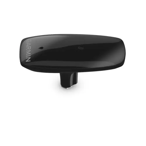
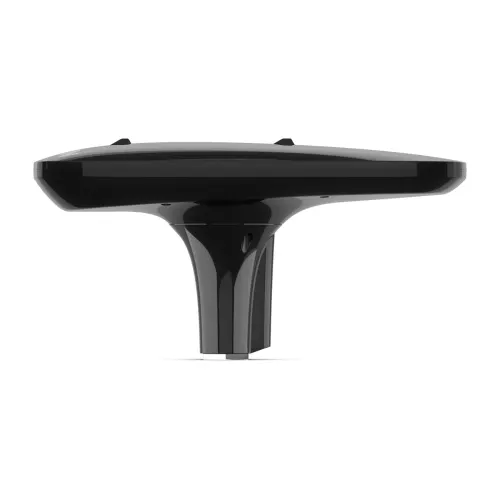
MSC 10 Marine Satellite Compass provides accurate heading information with this GPS-based satellite compass.

$914.99

We sell it. We install it.

Professional marine electronics installation available in South Florida. Free quotes, and boat pickup and transport for qualifying boats and projects.

Get an Installation Quote Call +1 (786) 277-2596

Shipping & sourcing
  • Ships from Pompano Beach, FL, United States.
  • Handling: 1 business day. Delivery: 1 to 7 business days within the United States.
  • Shipping is calculated at checkout by the carrier. Orders of $199 or more ship free.
  • Product images and specifications are supplied by the manufacturer.
Shipping & returns policy
0 People watching this product now!

Payment Methods:

KNOW EXACTLY WHERE YOU’RE HEADED

Get reliable, accurate heading information with the easy-to-install GPS-based MSC 10 marine satellite compass.

Accuracy comes easy when you’ve got a multi-band GNSS receiver on board.
Faster updates. More detailed tracking.
Rough waters got you worried? MSC 10 delivers pitch, roll and heave info, too.
If other onboard systems need a heading sensor, we’ve got you covered.

MULTI-BAND GNSS AND MULTI-CONSTELLATION

The multi-band GPS (L1 and L5 GPS) and multi-constellation (GPS, Galileo, GLONASS and BeiDou) receiver delivers precise positioning1.

BOAT HEAVE AND MORE

Get reliable, accurate boat heave, pitch and roll information — even in rough waters.

BUILT-IN ATTITUDE HEADING REFERENCE SYSTEM (AHRS)

With a fully integrated attitude and heading reference system for better GPS heading at all speeds, including pitching in rough seas, taking sharp turns or standing still.

ACCURATE HEADING DATA

Multiple receivers deliver heading accuracy within 2 degrees. Because it uses satellite signals, you don’t have to worry about magnetic interference.

PRIMARY SENSOR ACROSS MULTIPLE SYSTEMS

You can use MSC 10 as the primary sensor for autopilots and other onboard systems that need accurate heading information.

NMEA 2000® NETWORK COMPATIBLE

Get heading, pitch, heel and heave information delivered straight to your compatible Garmin chartplotter via the NMEA 2000 network.

EASY TO INSTALL

This compact device is simple to install and easily integrates into your Garmin marine ecosystem.

10 HZ UPDATE RATE

Get better, more detailed tracking information, thanks to the 10 Hz position update rate.

BACKUP HEADING SENSOR

In the extremely rare case that you lose satellite signal, MSC 10 will seamlessly transition from GPS-based to magnetometer-based heading2.

Technical Specifications

Weight 1.79 lbs
Dimensions (L × W × H) 13.10 × 6.10 × 3.00 in
Weight1.79 lbs
Dimensions13.1 × 6.1 × 3 in
UPC753759331221
MFG#010-02407-10

Description

KNOW EXACTLY WHERE YOU’RE HEADED

Get reliable, accurate heading information with the easy-to-install GPS-based MSC 10 marine satellite compass.

Accuracy comes easy when you’ve got a multi-band GNSS receiver on board.
Faster updates. More detailed tracking.
Rough waters got you worried? MSC 10 delivers pitch, roll and heave info, too.
If other onboard systems need a heading sensor, we’ve got you covered.

MULTI-BAND GNSS AND MULTI-CONSTELLATION

The multi-band GPS (L1 and L5 GPS) and multi-constellation (GPS, Galileo, GLONASS and BeiDou) receiver delivers precise positioning1.

BOAT HEAVE AND MORE

Get reliable, accurate boat heave, pitch and roll information — even in rough waters.

BUILT-IN ATTITUDE HEADING REFERENCE SYSTEM (AHRS)

With a fully integrated attitude and heading reference system for better GPS heading at all speeds, including pitching in rough seas, taking sharp turns or standing still.

ACCURATE HEADING DATA

Multiple receivers deliver heading accuracy within 2 degrees. Because it uses satellite signals, you don’t have to worry about magnetic interference.

PRIMARY SENSOR ACROSS MULTIPLE SYSTEMS

You can use MSC 10 as the primary sensor for autopilots and other onboard systems that need accurate heading information.

NMEA 2000® NETWORK COMPATIBLE

Get heading, pitch, heel and heave information delivered straight to your compatible Garmin chartplotter via the NMEA 2000 network.

EASY TO INSTALL

This compact device is simple to install and easily integrates into your Garmin marine ecosystem.

10 HZ UPDATE RATE

Get better, more detailed tracking information, thanks to the 10 Hz position update rate.

BACKUP HEADING SENSOR

In the extremely rare case that you lose satellite signal, MSC 10 will seamlessly transition from GPS-based to magnetometer-based heading2.

Technical Specifications

Weight 1.79 lbs
Dimensions (L × W × H) 13.10 × 6.10 × 3.00 in

Specification

Overview

Weight1.79 lbs
Dimensions13.1 × 6.1 × 3 in
UPC753759331221
MFG#010-02407-10

Customer Reviews