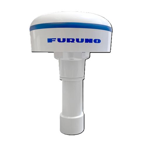
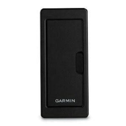

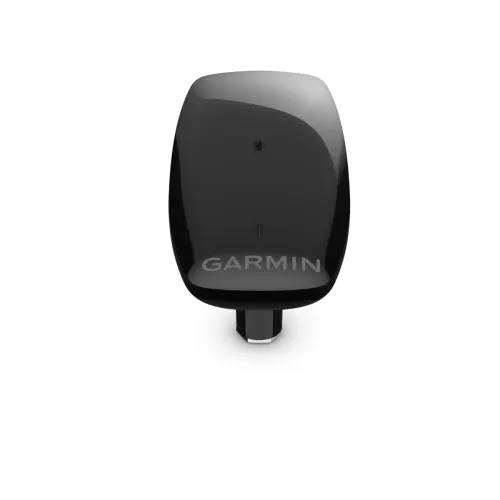
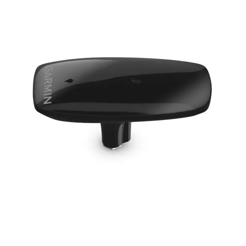
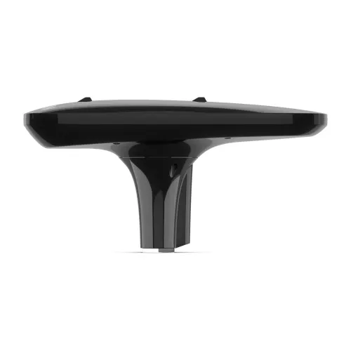
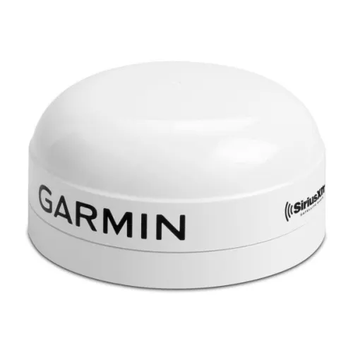
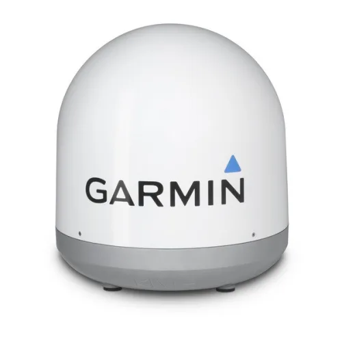
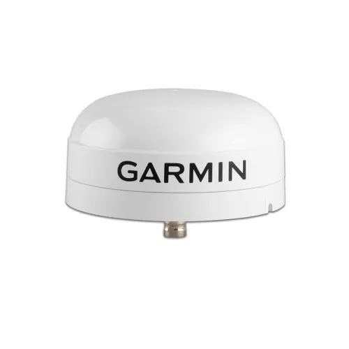
MSC™ 10 Marine Satellite Compass
$1,149.99
MSC 10 Marine Satellite Compass provides accurate heading information with this GPS-based satellite compass.
Did you like this product? Add to favorites now and follow the product.
We are experts and sell products with a 15% discount with installation. Contact us via any method you prefer, such as WhatsApp, email, or SMS, or ask the team to sell you the equipment. Start Live Chat
- Description
- Additional information
- Reviews (0)
- Specifications
- In the Box
- More Offers
- Store Policies
- Inquiries
Description
KNOW EXACTLY WHERE YOU’RE HEADED
Get reliable, accurate heading information with the easy-to-install GPS-based MSC 10 marine satellite compass.
MULTI-BAND GNSS AND MULTI-CONSTELLATION
The multi-band GPS (L1 and L5 GPS) and multi-constellation (GPS, Galileo, GLONASS and BeiDou) receiver delivers precise positioning1.
BOAT HEAVE AND MORE
Get reliable, accurate boat heave, pitch and roll information — even in rough waters.
BUILT-IN ATTITUDE HEADING REFERENCE SYSTEM (AHRS)
With a fully integrated attitude and heading reference system for better GPS heading at all speeds, including pitching in rough seas, taking sharp turns or standing still.
ACCURATE HEADING DATA
Multiple receivers deliver heading accuracy within 2 degrees. Because it uses satellite signals, you don’t have to worry about magnetic interference.
PRIMARY SENSOR ACROSS MULTIPLE SYSTEMS
You can use MSC 10 as the primary sensor for autopilots and other onboard systems that need accurate heading information.
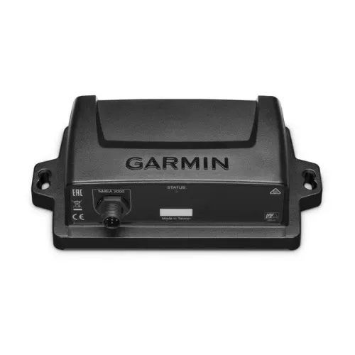
NMEA 2000® NETWORK COMPATIBLE
Get heading, pitch, heel and heave information delivered straight to your compatible Garmin chartplotter via the NMEA 2000 network.
EASY TO INSTALL
This compact device is simple to install and easily integrates into your Garmin marine ecosystem.
10 HZ UPDATE RATE
Get better, more detailed tracking information, thanks to the 10 Hz position update rate.
BACKUP HEADING SENSOR
In the extremely rare case that you lose satellite signal, MSC 10 will seamlessly transition from GPS-based to magnetometer-based heading2.
Additional information
| Brand | Garmin |
|---|
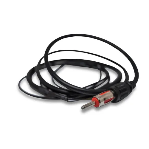
Specs Dimensions (W x D x H): 6.1” x 13.1” x 3.0” (155.5 x 333.6 x 76.2 mm)Weight: 28.6 oz (810 g)Cable length: 19 ft 8 in (6 m)Temperature range: 5° F to 158° F (-15° C to 70° C), white; 5° F to 140° F (-15° C to 60° C), blackCase material: Glue sealed, high-impact plastic alloy; waterproof to IPX7Compass-safe distance: 0" (0 mm)Power source input: 9-32 Vdc, unregulatedInput current: 180 mA at 12 VdcNMEA 2000 Load Equivalency Number (LEN): 6 (300 mA max)Position accuracy, typical marine use: < 1 meter CEP, < 3 meters, 95%Heading accuracy: 2° RMSHeave accuracy: 8 cm RMS
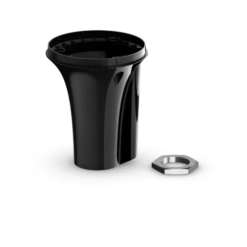
- MSC-10 Marine Satellite Compass
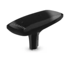
- Pole mount
- Mounting hardware
- NMEA 2000® backbone/drop cable (6 meters)
- NMEA 2000 T-connector
- Documentation
General Inquiries
There are no inquiries yet.
Related products
MSC™ 10 Marine Satellite Compass
$1,149.99Copyright 2026 © marineoverhauling

Reviews
There are no reviews yet.