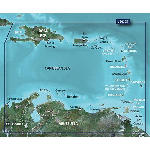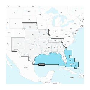


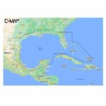

C-MAP Reveal – Central America and Caribbean
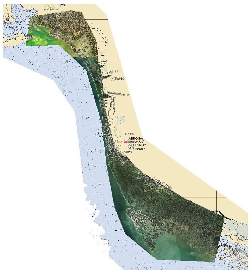
The C-MAP Reveal – Central America and Caribbean is a marine chart designed for Lowrance, Simrad, and B&G chartplotters, providing detailed underwater views of fish and structures. This product is essential for enhancing navigation and fishing strategies in these regions.
Compatibility & Applications
- Fits Lowrance, Simrad, and B&G chartplotters for direct use.
- Provides enhanced navigation capabilities for vessels operating in Central America and the Caribbean.
- Replaces older marine charts, ensuring up-to-date information.
- Wires to NMEA 2000 for real-time data sharing between devices.
- Supports fishing and navigation strategies through detailed underwater views.
- Mounts easily in chartplotter systems for quick reference while navigating.
The unit allows for precise navigation and fishing planning in the Central America and Caribbean regions, making it a crucial tool for mariners. Its compatibility with leading chartplotters ensures effective use in diverse marine environments, offering a significant upgrade over outdated charts.