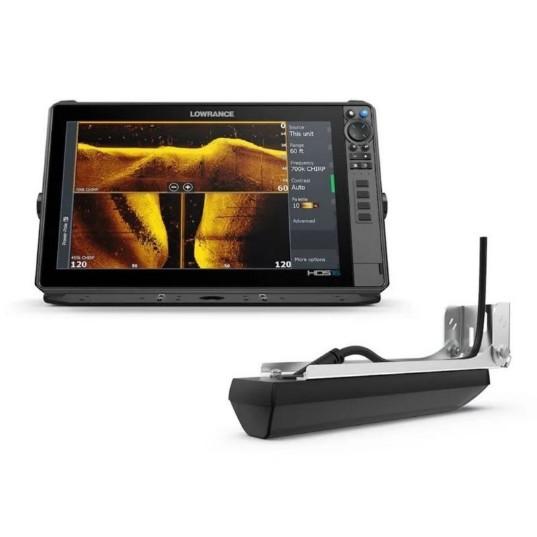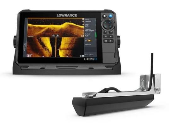


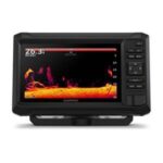

GARMIN ECHOMAP UHD2 54cv Chartplotter
The GARMIN ECHOMAP UHD2 54cv is a chartplotter featuring a 54-inch display, GT20-TM transducer, and Garmin Navionics+ mapping for U.S. Coastal and Great Lakes navigation. The device is intended for installation on vessels requiring advanced navigation capabilities, providing essential data for safe and efficient travel.
Compatibility & Applications
- Fits into standard mounting locations on vessels from 18 to 30 ft.
- Pairs with existing Garmin marine electronics for enhanced functionality.
- Wires to 12V DC power systems commonly used in marine applications.
- Integrates with NMEA 2000 networks for real-time data sharing.
- Replaces older Garmin chartplotters, such as the GPSMAP 54 series.
- Mounts on center consoles, helm stations, and bridge locations.
- Compatible with a variety of Garmin accessories for expanded capabilities.
The unit provides essential navigation data for small to mid-sized vessels, ensuring effective mapping and sonar capabilities. Its robust IPX7 rating protects against water ingress, making it a reliable choice for coastal navigation. Installation on a center console allows for easy access to navigation data while underway.