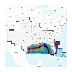


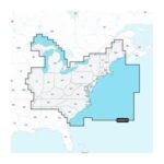

GARMIN Navionics+ U.S. South, Navionics+ microSD/SD card NAUS006R
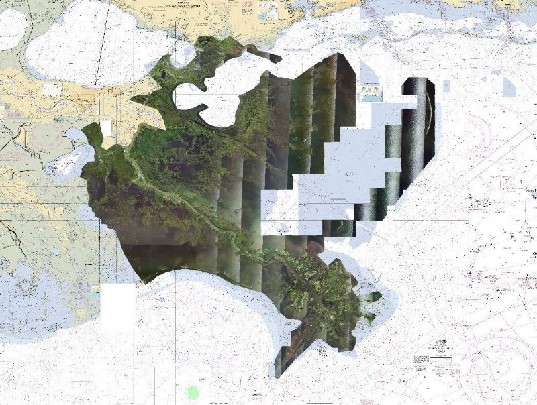
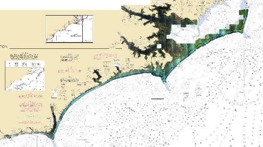
The GARMIN Navionics+ U.S. South is a microSD/SD card designed for marine navigation, providing detailed mapping for the southern U.S. region. It is intended for installation in compatible GARMIN chartplotters and provides access to advanced navigational features.
Compatibility & Applications
- Fits GARMIN chartplotters with microSD/SD card slots.
- Provides detailed charts for coastal and inland waters in the southern U.S.
- Supports integration with GARMIN’s advanced navigation features.
- Updates are easily downloadable from the Navionics website.
- Replaces older Navionics cards for enhanced detail and coverage.
This unit facilitates accurate navigation for vessels operating in southern U.S. waters, ensuring users have access to the latest cartographic data. It offers a drop-in replacement for older Navionics products, enhancing navigational capabilities.