


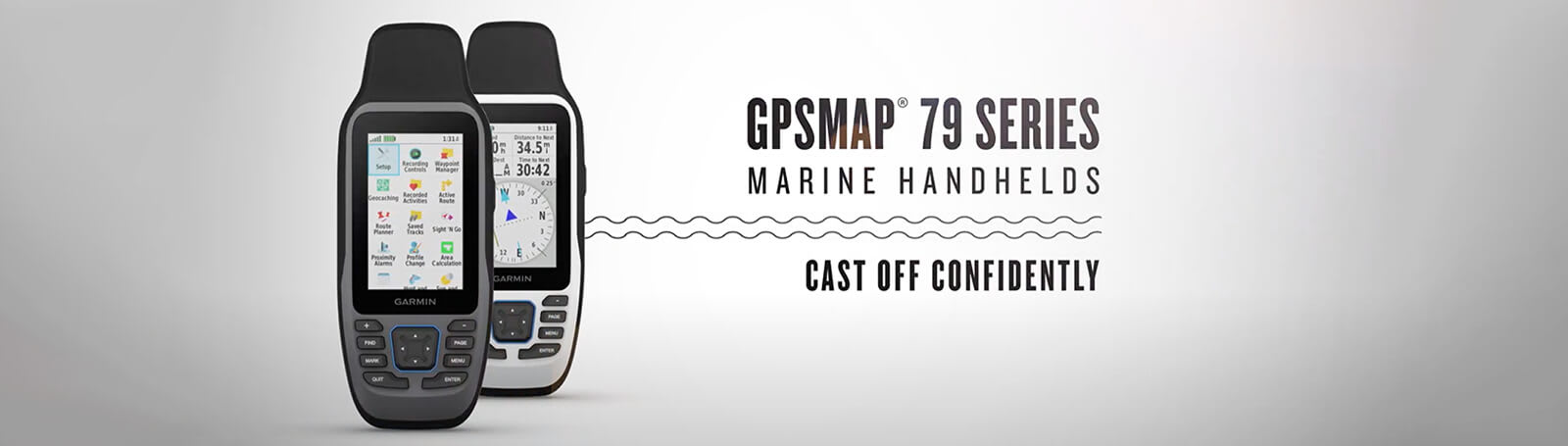
CAST OFF CONFIDENTLY
Stay on course, and track more adventures with these rugged, floating handhelds.
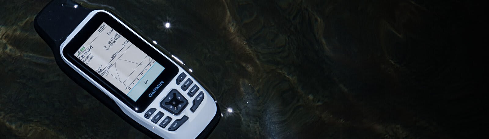
It’s water-resistant, it floats, and it’s fogproof, so it belongs on the water — just like you.
This thing can remember up to 10,000 waypoints and more, so you don’t have to.
It’s nice to have reliable positioning when you’re out on the water.
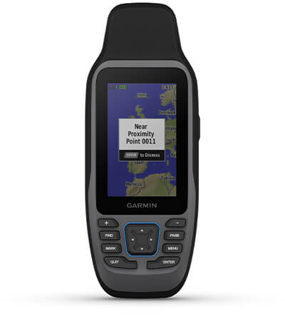
The built-in compass will point you in the right direction.
Get the best of Garmin and Navionics® data with optional BlueChart® g3 coastal charts.
Stay out longer with up to 19 hours of battery life in GPS mode.

Built for life on the boat.
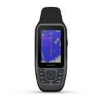
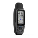
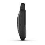
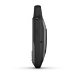
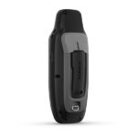
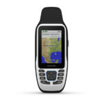
RUGGED HANDHELD
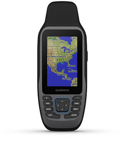
This handheld is water-resistant (IPX7) with a high-resolution color display you can read in the sun. The glass is even scratch-resistant and fogproof.
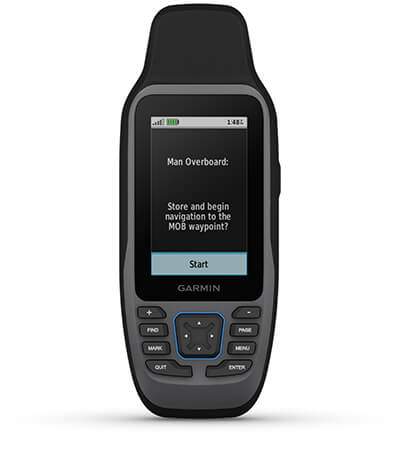
If rough waters come and the handheld goes overboard, don’t worry. This device floats.

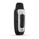
User-replaceable AA batteries (not included) provide up to 19 hours of battery life in GPS tracking mode.
ACCURATE TRACKING
With support for multiple satellite constellations — such as GPS, GLONASS, Galileo, QZSS and SBAS — you’ll get accurate, reliable tracking and positioning around the world.
More memory than previous models means you can save and track 10,000 waypoints, 250 routes and 300 fitness activity files.
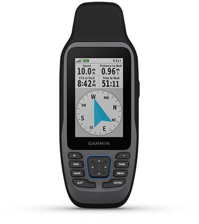
The 3-axis tilt-compensated electronic compass shows your heading — even while the boat is standing still.

Preloaded BlueChart g3 coastal charts (GPSMAP 79sc only) give you leading-edge coverage, clarity and detail with integrated Garmin and Navionics data. Coverage includes the U.S. and the Great Lakes.
Technical Specifications
| Weight | 0.62 lbs |
|---|---|
| Dimensions (L × W × H) | 2.67 × 6.85 × 1.67 in |