





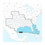


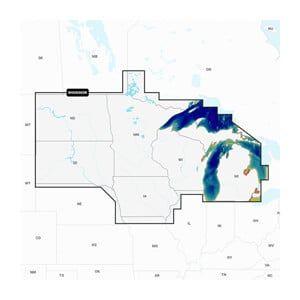
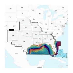
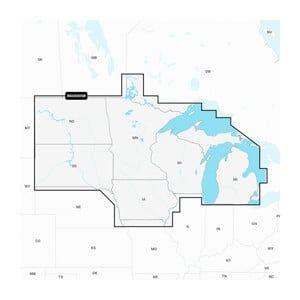
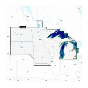
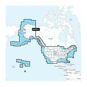
Navionics+ lakes, rivers and coastal marine charts for the U.S. East on microSD/SD card, for a wide range of compatible chartplotter brands. They include a 1-year subscription for daily updates through the Navionics chart installer software, dock-to-dock route guidance and selectable map options such as shallow area highlights.
- Coverage: U.S. East, lakes, rivers and coastal
- Format: microSD/SD card
- Updates: 1-year subscription, daily


Reviews
Clear filtersThere are no reviews yet.