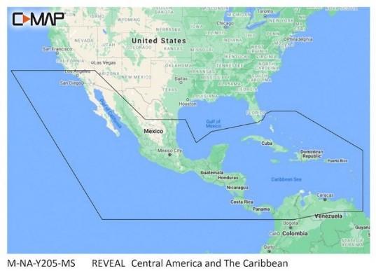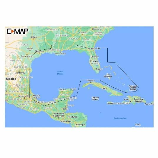




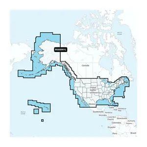

GARMIN U.S & Coastal Canada Built-In CHART UPDATE CARD
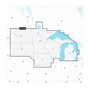
The GARMIN U.S & Coastal Canada Built-In CHART UPDATE CARD is a microSD card designed for marine navigation, providing updated charts for U.S. and Canadian coastal waters. This card is installed in compatible GARMIN chartplotters to enhance navigational accuracy and safety.
Compatibility & Applications
- Fits GARMIN chartplotters with microSD card slots.
- Updates charts for coastal navigation in U.S. and Canada.
- Replaces older chart versions for enhanced accuracy.
- Integrates with GARMIN’s BlueChart g3 and g3 Vision charts.
- Mounts directly into compatible GARMIN devices for quick installation.
- Pairs with GARMIN autopilot systems for improved navigation.
The unit provides essential updates for coastal navigation and is a direct replacement for older chart cards, ensuring up-to-date navigational data for safe boating. For example, when installed in a GARMIN GPSMAP 7400 series chartplotter, it enhances situational awareness in busy waterways, differentiating itself with its proprietary data format that ensures the latest navigational information is always accessible.
Technical Specifications
| Weight | 0.10 lbs |
|---|---|
| Dimensions (L × W × H) | 3.50 × 2.50 × 0.10 in |