



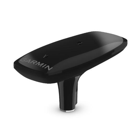
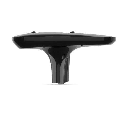
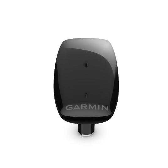
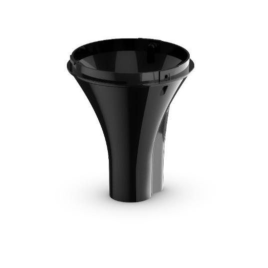
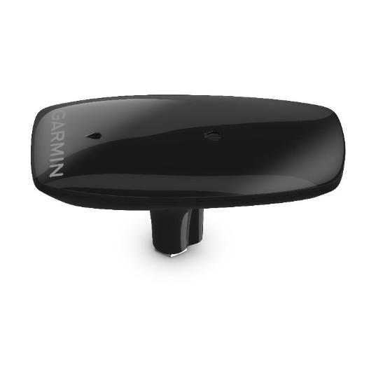
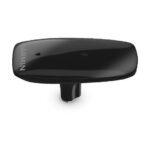

GARMIN MSC 10 Marine Satellite Compass
The GARMIN MSC 10 is a marine satellite compass and heading sensor equipped with multi-band GPS reception, measuring 6 x 13 x 3 inches. Designed for accurate navigation in marine environments, it provides reliable heading information essential for safe vessel operation.
Compatibility & Applications
- Mounts on yachts, fishing boats, and sailboats for enhanced navigation.
- Pairs with NMEA 2000 networks to integrate with onboard electronic systems.
- Fits installations requiring a precise heading sensor for autopilot systems.
- Replaces older models like the Garmin GHP 10 without additional modifications.
- Wires to multifunction displays to provide real-time heading and GPS data.
- Integrates with marine navigation systems for improved safety and efficiency.
The unit improves navigation accuracy by providing precise heading information and GPS data, particularly useful in challenging environments where traditional compasses may not perform reliably. For instance, it can be installed on a sailboat’s mast to ensure accurate heading during regattas, differentiating itself from generic compasses with its multi-band GPS capabilities.