
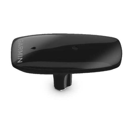
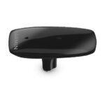

GARMIN MSC 10 Marine Satellite Compass, Heading Sensor and Multi-band GPS Receiver, Black

SKU: GARMSC10BLK

GARMIN MSC 10 Marine Satellite Compass, Heading Sensor and Multi-band GPS Receiver, Black

$1,149.99

2 in stock

2 in stock

We sell it. We install it.

Professional marine electronics installation available in South Florida. Free quotes, and boat pickup and transport for qualifying boats and projects.

Get an Installation Quote Call +1 (786) 277-2596

Shipping & sourcing
  • Ships from Pompano Beach, FL, United States.
  • Handling: 1 business day. Delivery: 1 to 7 business days within the United States.
  • Shipping is calculated at checkout by the carrier. Orders of $199 or more ship free.
  • Product images and specifications are supplied by the manufacturer.
Shipping & returns policy
0 People watching this product now!

Payment Methods:

Garmin MSC 10 Marine Satellite Compass, Heading Sensor and Multi-Band GPS Receiver

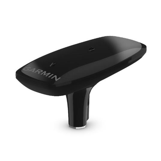
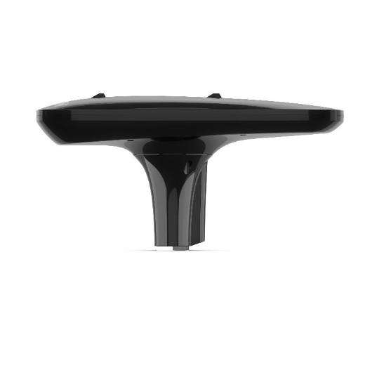
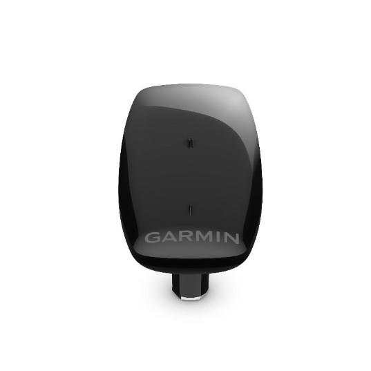
The Garmin MSC 10 is an NMEA 2000 certified marine satellite compass weighing 1.12 lbs and measuring 6 × 13 × 3 inches, built around a multi-band GNSS (L1 and L5) and multi-constellation receiver. Marine electronics technicians and vessel owners install the unit as a primary heading and position sensor for chartplotters, autopilots, and other onboard navigation systems.

Technical Specifications

Weight 1.12 lbs (0.51 kg)
Dimensions (L × W × H) 13 × 6 × 3 in (330 × 152 × 76 mm)
Color / Finish Black
GNSS Bands L1 and L5 (multi-band)
Satellite Constellations GPS, Galileo, GLONASS, BeiDou
Position Accuracy Within 1 meter
Heading Accuracy 2-degree RMS (dynamic)
Position Update Rate 10 Hz
Network Interface NMEA 2000 (certified)
Backup Heading Magnetometer-based (calibration required)

Compatibility & Applications

  • Wires directly into any existing NMEA 2000 network as a plug-and-play sensor node.
  • Pairs with Garmin GPSMAP 8400/8600 series chartplotters as a primary heading source.
  • Pairs with Garmin GPSMAP 7×3, 9×3, 12×3, 10×2, and 12×2 series chartplotters.
  • Mounts as the primary heading sensor for Garmin Reactor autopilot series installations.
  • Delivers heading, pitch, roll, and heave data to compatible Garmin chartplotters via NMEA 2000.
  • Connects to third-party NMEA 2000 displays using basic calibration mode.

The MSC 10 is NMEA 2000 certified and requires no calibration for GPS-based heading—no magnetic deviation corrections, no swinging the vessel. The built-in attitude and heading reference system (AHRS) filters GPS-derived heading at all speeds, including sharp turns and stationary conditions, distinguishing the unit from conventional fluxgate compass sensors.

Weight1.12 lbs
Dimensions6 × 13 × 3 in
Weight1.12 lbs (0.51 kg)
Dimensions6 x 13 x 3 in (152 x 330 x 76 mm)
Voltage12 V DC
Current0.5 A
Operating temperature range-4 to 158 °F (-20 to 70 °C)
IP ratingIPX7
CertificationCE, FCC
Included accessoriesMounting hardware, power cable
Country of originUSA
Warranty2 years
MFG#010-02407-10

Description

Garmin MSC 10 Marine Satellite Compass, Heading Sensor and Multi-Band GPS Receiver

The Garmin MSC 10 is an NMEA 2000 certified marine satellite compass weighing 1.12 lbs and measuring 6 × 13 × 3 inches, built around a multi-band GNSS (L1 and L5) and multi-constellation receiver. Marine electronics technicians and vessel owners install the unit as a primary heading and position sensor for chartplotters, autopilots, and other onboard navigation systems.

Technical Specifications

Weight 1.12 lbs (0.51 kg)
Dimensions (L × W × H) 13 × 6 × 3 in (330 × 152 × 76 mm)
Color / Finish Black
GNSS Bands L1 and L5 (multi-band)
Satellite Constellations GPS, Galileo, GLONASS, BeiDou
Position Accuracy Within 1 meter
Heading Accuracy 2-degree RMS (dynamic)
Position Update Rate 10 Hz
Network Interface NMEA 2000 (certified)
Backup Heading Magnetometer-based (calibration required)

Compatibility & Applications

  • Wires directly into any existing NMEA 2000 network as a plug-and-play sensor node.
  • Pairs with Garmin GPSMAP 8400/8600 series chartplotters as a primary heading source.
  • Pairs with Garmin GPSMAP 7×3, 9×3, 12×3, 10×2, and 12×2 series chartplotters.
  • Mounts as the primary heading sensor for Garmin Reactor autopilot series installations.
  • Delivers heading, pitch, roll, and heave data to compatible Garmin chartplotters via NMEA 2000.
  • Connects to third-party NMEA 2000 displays using basic calibration mode.

The MSC 10 is NMEA 2000 certified and requires no calibration for GPS-based heading—no magnetic deviation corrections, no swinging the vessel. The built-in attitude and heading reference system (AHRS) filters GPS-derived heading at all speeds, including sharp turns and stationary conditions, distinguishing the unit from conventional fluxgate compass sensors.

Specification

Overview

Weight1.12 lbs
Dimensions6 × 13 × 3 in
Weight1.12 lbs (0.51 kg)
Dimensions6 x 13 x 3 in (152 x 330 x 76 mm)
Voltage12 V DC
Current0.5 A
Operating temperature range-4 to 158 °F (-20 to 70 °C)
IP ratingIPX7
CertificationCE, FCC
Included accessoriesMounting hardware, power cable
Country of originUSA
Warranty2 years
MFG#010-02407-10

Customer Reviews