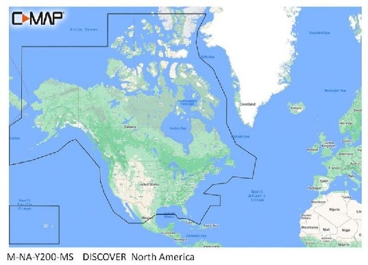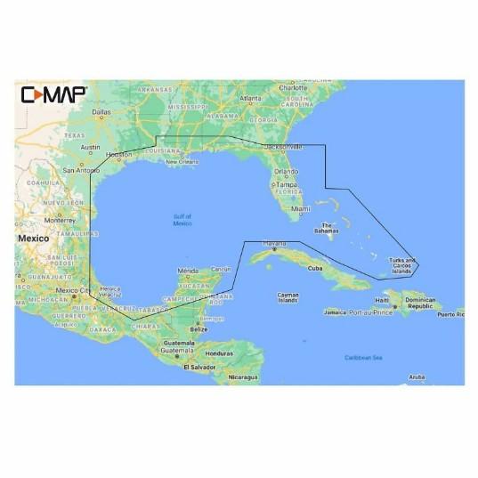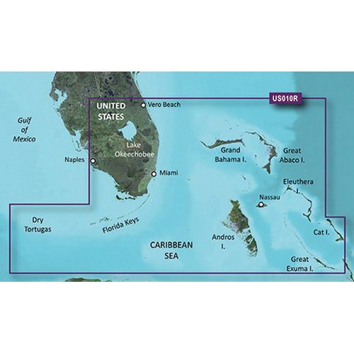


C-MAP Reveal – Chesapeake Bay To The Bahamas Mapping Solution
The C-MAP Reveal – Chesapeake Bay To The Bahamas is a premium mapping solution compatible with Lowrance, Simrad, and B&G chartplotters. This unit features shaded relief for enhanced visualization of underwater and coastal topography, providing critical navigation data for mariners.
Compatibility & Applications
- Fits Lowrance, Simrad, and B&G chartplotters for easy installation.
- Integrates with existing marine navigation systems for seamless functionality.
- Provides enhanced visualization for cruisers, anglers, and sailors navigating coastal waters.
- Replaces older C-MAP chart products for updated mapping accuracy.
- Mounts easily in both coastal and offshore navigation settings.
The unit delivers advanced mapping capabilities for navigating from the Chesapeake Bay to the Bahamas, offering detailed geographic information. It serves as a drop-in replacement for older C-MAP charts, ensuring mariners have the latest data for safe navigation.