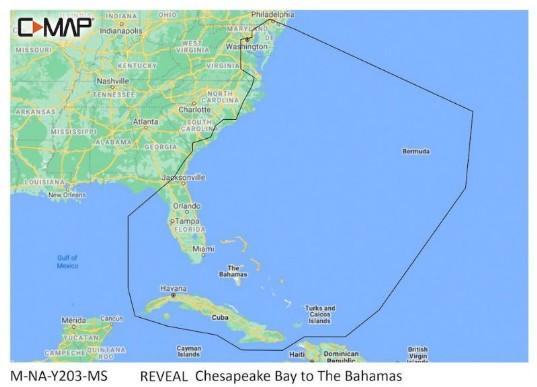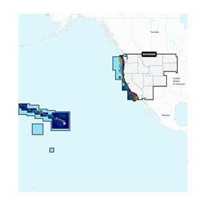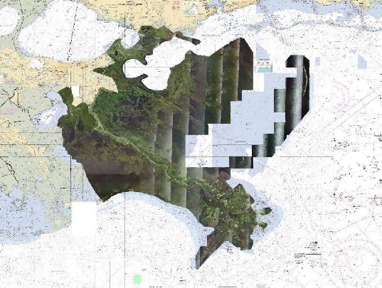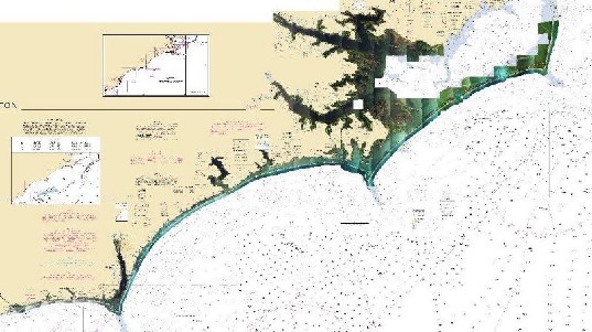


C-MAP REVEAL – GULF OF MEXICO AND BAHAMAS Chart
The C-MAP REVEAL – GULF OF MEXICO AND BAHAMAS is a detailed marine chart designed for Lowrance, Simrad, and B&G chartplotters, providing comprehensive mapping of the Gulf of Mexico and the Bahamas. It offers advanced features for navigation and fish finding.
Compatibility & Applications
- Fits Lowrance, Simrad, and B&G chartplotters for easy installation.
- Provides detailed mapping for vessels operating in the Gulf of Mexico.
- Integrates with existing NMEA 2000 systems for enhanced navigation.
- Supports fishing applications with clear underwater views of fish and structure.
- Replaces older C-MAP charts for improved detail and accuracy.
This unit enhances navigation and fishing efficiency by providing precise underwater mapping and is a drop-in replacement for older C-MAP charts, ensuring users have the latest data for their marine activities.