


C-MAP Reveal X – U.S. Lakes South East
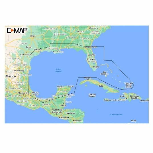
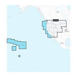
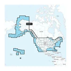
The C-MAP Reveal X – U.S. Lakes South East is a digital chart solution designed for marine navigation, providing detailed mapping of southeastern U.S. lakes. This product is intended for installation in compatible chartplotters and multifunction displays.
Compatibility & Applications
- Fits into compatible C-MAP and Simrad multifunction displays.
- Integrates with NMEA 2000 for enhanced navigation data.
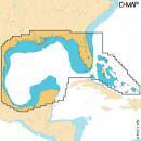
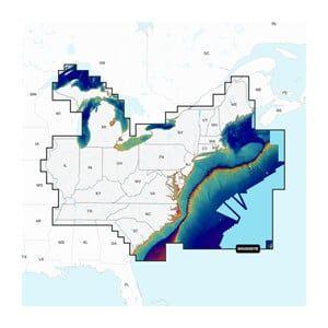
- Provides detailed coverage for lakes in the southeastern U.S.
- Updates existing C-MAP chart systems with enhanced detail.
- Pairs with recreational boating and fishing applications for improved route planning.
- Mounts easily into existing chartplotter slots without additional hardware.
- Replaces older C-MAP charts for seamless upgrades.
- Supports installation on vessels ranging from 20 to 40 feet.
The unit enhances navigation by providing detailed topographical mapping of lakes, ensuring accurate and reliable navigation for boaters. It serves as a drop-in replacement for older C-MAP models, offering advanced features like shaded relief for improved visibility during navigation.