


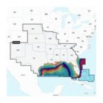

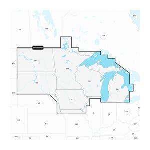
Coverage extended to include all ofLake Michigan and Green Bay, in particular the Wisconsin waters pluswaters surrounding Bermuda.
Technical Specifications
| Weight | 1.00 lbs |
|---|---|
| Dimensions (L × W × H) | 3.10 × 2.10 × 0.10 in |
 Overview
| Weight | 1 lbs |
|---|---|
| Dimensions | 3.1 × 2.1 × 0.1 in |
| Chart Format | Navionics |
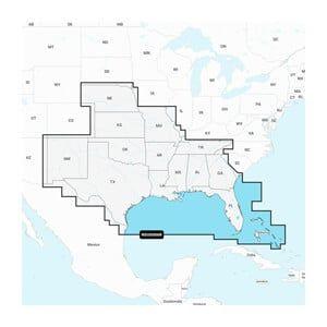
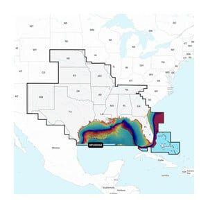
| Coverage Area | U.S. East Coast, Lakes, and Rivers |
| Update Frequency | Annual updates available |
| Compatibility | GARMIN chartplotters supporting Navionics |
| Country of Origin | USA |
| MFG# | NVUS007R / 010-C1291-00 |
| UPC | 753759290658 |
| MFG# | 010-C1291-00 |
No account yet?
Create an Account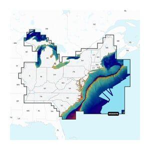
26 in stock

Online
Choose how you'd like us to reach you
🔒 Your info is private and never shared with third parties.
We'll reach out shortly via your preferred contact method.
Thank you for choosing Marine Overhauling!
Tell us what your boat needs and our team will contact you shortly.
No commitment. Fast response from our marine team.
Our marine team will contact you shortly.
Thank you for choosing Marine Overhauling!
If we can't answer right away, leave your name and number below and we'll call you back shortly.
Choose how you'd like us to reach you
🔒 Your info is private and never shared with third parties.
We'll reach out shortly via your preferred contact method.
Thank you for choosing Marine Overhauling!
Reviews
Clear filtersThere are no reviews yet.