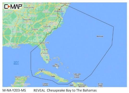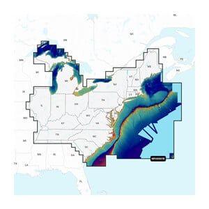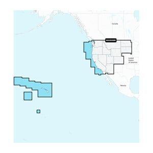


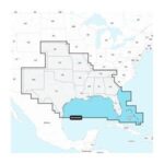

GARMIN Navionics+ U.S. North, Navionics+ microSD/SD card NAUS005R
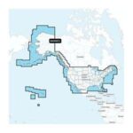
The GARMIN Navionics+ U.S. North is a microSD/SD card designed for marine navigation, providing detailed cartography for northern U.S. waters. This unit is installed in compatible GARMIN chartplotters to enhance navigation capabilities and ensure accurate route planning.
Compatibility & Applications
- Fits GARMIN chartplotters that accept microSD/SD cards.
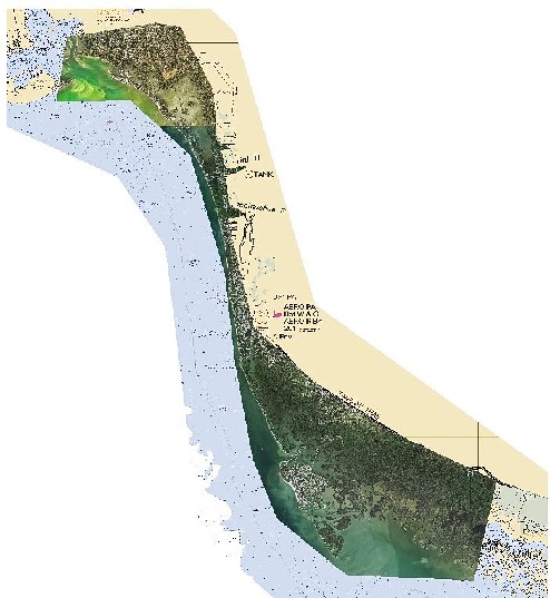
- Provides detailed mapping for northern U.S. coastal and inland waters.
- Updates navigation data daily for enhanced accuracy.
- Replaces older Navionics+ cards for updated cartography.
- Integrates with GARMIN devices for seamless navigation experience.
- Mounts in chartplotters on vessels from 18 to 40 ft in length.
This unit enhances navigational accuracy with updated charts and is essential for coastal navigation in northern U.S. waters. A direct replacement for older Navionics+ models, it ensures access to the latest marine data, making it a critical tool for both recreational and professional mariners.