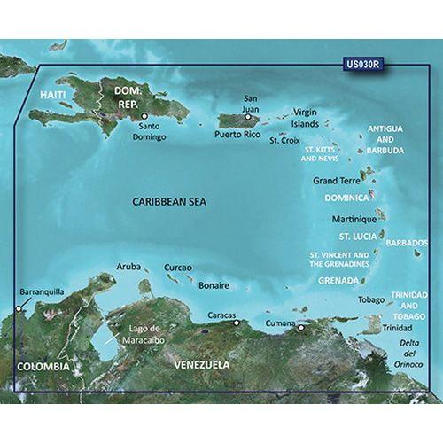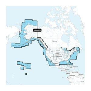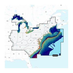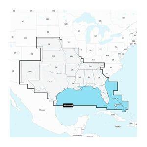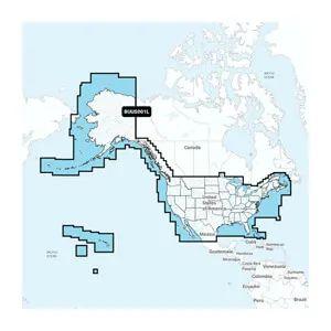


GARMIN Navionics Vision+ U.S. South – Lakes, Rivers and Coastal Marine Charts
The GARMIN Navionics Vision+ U.S. South is a comprehensive marine charting solution designed for lakes, rivers, and coastal navigation, covering the southern U.S. region. It provides detailed mapping and is intended for installation in GARMIN chartplotters and multifunction displays.
Compatibility & Applications
- Fits GARMIN chartplotters for direct installation.
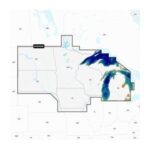
- Provides detailed navigation for lakes and rivers in the southern U.S.
- Replaces older Navionics charts for enhanced detail.
- Wires to NMEA 2000 networks for real-time data sharing.
- Supports integration with GARMIN’s ActiveCaptain app for mobile access.
- Mounts on various GARMIN multifunction displays for easy access.
The unit enhances navigation accuracy with detailed mapping, making it a suitable upgrade for existing GARMIN chartplotter users. It is a drop-in replacement for older Navionics chart models, ensuring that users benefit from the latest charting technology without additional installation requirements.