

GARMIN Navionics Vision+ U.S. West – Inland and Coastal Marine Charts

SKU: GAR010-C1292-00 MFG#: 010-C1292-00

GARMIN Navionics Vision+ U.S. West – Inland and Coastal Marine Charts | NVUS008R | microSD/SD and One-year Sub.

$239.77

3 in stock

3 in stock

Item
Shipping
Total
Oversize item: call (786) 277-2596 for a freight quote.
Ships from Pompano Beach, FL. Rate shown is for Florida (1-2 business days); other states 1 to 7 business days, exact rate by ZIP at checkout.
★★★★★ 5.0 rated on Google (21 reviews) · ✓ 30-day returns · ✓ Secure payment by Stripe

We sell it. We install it.

Professional marine electronics installation available in South Florida. Free quotes, and boat pickup and transport for qualifying boats and projects.

Get an Installation Quote Call +1 (786) 277-2596

Shipping & sourcing
  • Ships from Pompano Beach, FL, United States.
  • Handling: 1 business day. Delivery: 1 to 7 business days within the United States.
  • Shipping is calculated at checkout by the carrier. Orders of $199 or more ship free.
  • Product images and specifications are supplied by the manufacturer.
Shipping & returns policy
0 People watching this product now!

Payment Methods:

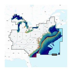
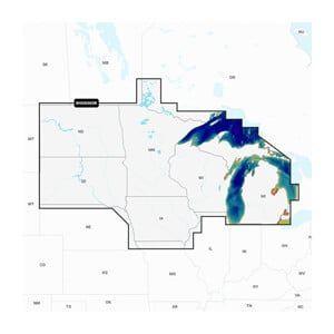
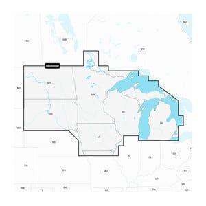
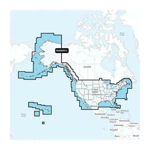
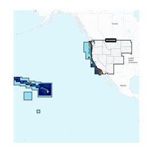
Garmin Navionics+ inland and coastal marine charts for the U.S. West, for compatible Garmin chartplotters. They combine Garmin and Navionics content, include a one-year subscription for daily updates through the ActiveCaptain app, and offer Auto Guidance+ dock-to-dock routing and up to 10 shaded depth ranges.

  • Coverage: U.S. West, inland and coastal
  • Updates: One-year subscription, daily

Technical Specifications

Weight 1.00 lbs
Dimensions (L × W × H) 8.00 × 6.00 × 2.00 in
Weight1 lbs
Dimensions8 × 6 × 2 in
FormatmicroSD/SD
Subscription Duration1 year
Chart CoverageU.S. West Coast and Inland Waters
Data TypeMarine Charts
CompatibilityGARMIN chartplotters
Country of OriginUnited States
Included ItemsmicroSD/SD card with subscription
MFG#010-C1292-00
UPC753759290665
MFG#010-C1292-00
0 reviews
0
0
0
0
0

There are no reviews yet.

Be the first to review “GARMIN Navionics Vision+ U.S. West – Inland and Coastal Marine Charts”

Your email address will not be published. Required fields are marked *

1 2 3 4 5
1 2 3 4 5
1 2 3 4 5

Description

Garmin Navionics+ inland and coastal marine charts for the U.S. West, for compatible Garmin chartplotters. They combine Garmin and Navionics content, include a one-year subscription for daily updates through the ActiveCaptain app, and offer Auto Guidance+ dock-to-dock routing and up to 10 shaded depth ranges.

  • Coverage: U.S. West, inland and coastal
  • Updates: One-year subscription, daily

Technical Specifications

Weight 1.00 lbs
Dimensions (L × W × H) 8.00 × 6.00 × 2.00 in

Specification

Overview

Weight1 lbs
Dimensions8 × 6 × 2 in
FormatmicroSD/SD
Subscription Duration1 year
Chart CoverageU.S. West Coast and Inland Waters
Data TypeMarine Charts
CompatibilityGARMIN chartplotters
Country of OriginUnited States
Included ItemsmicroSD/SD card with subscription
MFG#010-C1292-00
UPC753759290665
MFG#010-C1292-00

Customer Reviews

0 reviews
0
0
0
0
0

There are no reviews yet.

Be the first to review “GARMIN Navionics Vision+ U.S. West – Inland and Coastal Marine Charts”

Your email address will not be published. Required fields are marked *

1 2 3 4 5
1 2 3 4 5
1 2 3 4 5