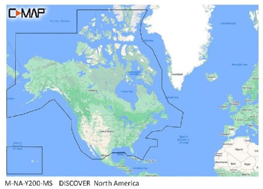


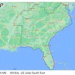

C-MAP Reveal US Lakes North Central
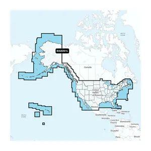
The C-MAP Reveal US Lakes North Central is a digital marine chart designed for navigation across the North Central United States. This chart provides essential information for mariners and is intended for installation in compatible chartplotters and multifunction displays.
Compatibility & Applications
- Fits into compatible chartplotters from brands such as Garmin and Lowrance.
- Provides detailed coverage for lakes including Michigan and Wisconsin.
- Integrates with multifunction displays to enhance navigation capabilities.
- Replaces older C-MAP chart versions, ensuring updated data accuracy.
- Supports fishing, boating, and recreational navigation activities.
- Wires to NMEA 2000 systems for real-time data updates.
The unit enhances navigation accuracy with detailed lake information and is designed for seamless installation in compatible systems. It serves as a drop-in replacement for older chart versions, ensuring mariners have access to the latest and most precise data available.