


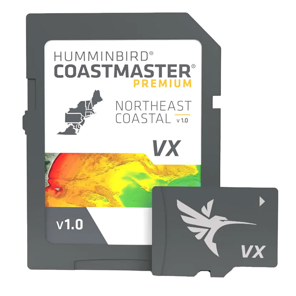

Humminbird CoastMaster Premium Northeast Coastal V1 Marine Chart
The Humminbird CoastMaster Premium Northeast Coastal V1 is a marine chart for Northeast coastal coverage, delivered on an SD card. The chart provides shaded relief, aerial imagery, depth highlights, and chart presets for Humminbird chartplotter users installing coverage from New York to Maine.
Technical Specifications
| Coverage Area | U.S. Northeast Coastal, New York to Maine |
|---|---|
| Delivery | SD Card |
| Product Type | CoastMaster marine chart |
| Region | Northeast |
| Shallow Water Highlight | Adjustable range from 0 to 60 feet |
| Warranty | One-year cartography warranty |
Compatibility & Applications
- Fits Humminbird HELIX G3/G3N, SOLIX, APEX, and XPLORE units.
- Pairs with Minn Kota trolling motors through the One-Boat Network.
- Highlights selected depth ranges for chart-based fishing location identification.
- Displays 2D shaded relief for bottom detail and depth changes.
- Uses aerial imagery to identify charted coastal locations and fishing spots.
Installed in a supported Humminbird SOLIX, APEX, or XPLORE unit, the SD card supplies Northeast coastal chart coverage from New York to Maine. Its differentiators include VX Technology, SmartStrike, 2D shaded relief, aerial imagery, and a selectable 0 to 60 foot shallow-water highlight.
FAQ
What is the Humminbird CoastMaster Premium Northeast Coastal V1?
It is a Northeast coastal marine chart delivered on an SD card, covering New York to Maine.
What equipment does the chart connect to?
It connects with supported Humminbird chartplotters and Minn Kota trolling motors through the One-Boat Network.


Reviews
Clear filtersThere are no reviews yet.