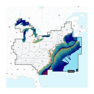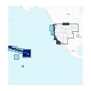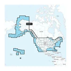


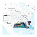

GARMIN Navionics Vision+ U.S. North – Lakes, Rivers and Coastal Marine Charts
The GARMIN Navionics Vision+ U.S. North is a digital marine charting solution that covers lakes, rivers, and coastal areas in the U.S. This product provides detailed mapping and advanced features for marine navigation installations on Garmin devices.
Compatibility & Applications
- Pairs with Garmin chartplotters for detailed navigation.
- Updates available for existing Navionics users.
- Integrates with Garmin’s mapping software for route planning.
- Supports freshwater and coastal navigation for sailboats and fishing vessels.
- Mounts into existing systems for easy upgrades from previous Navionics charts.
This unit enhances navigation accuracy with detailed cartography and real-time updates. It serves as a drop-in replacement for older Navionics charts, offering advanced features like SonarChart for improved depth shading and bottom contour mapping.